

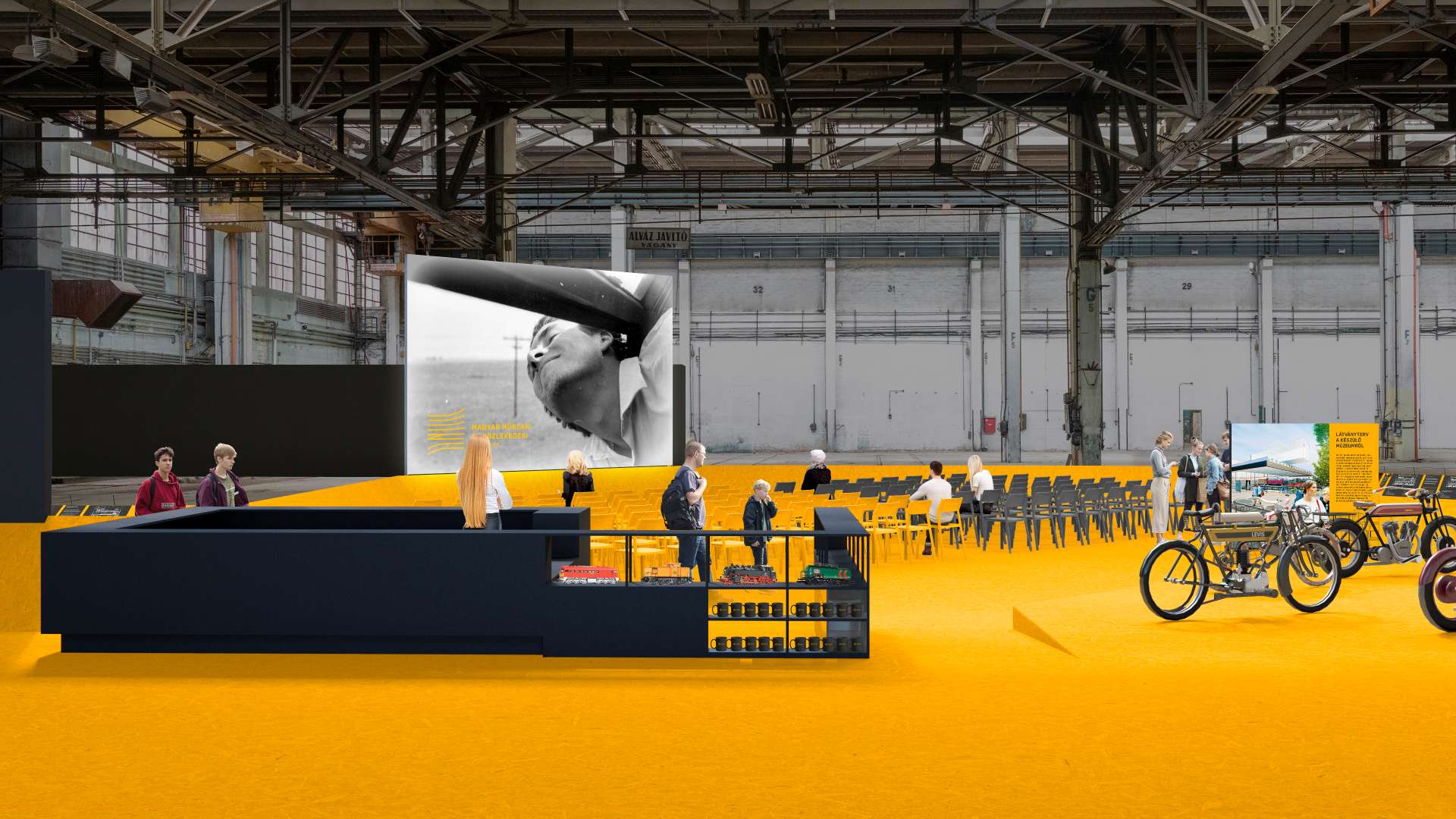
Kiállítás


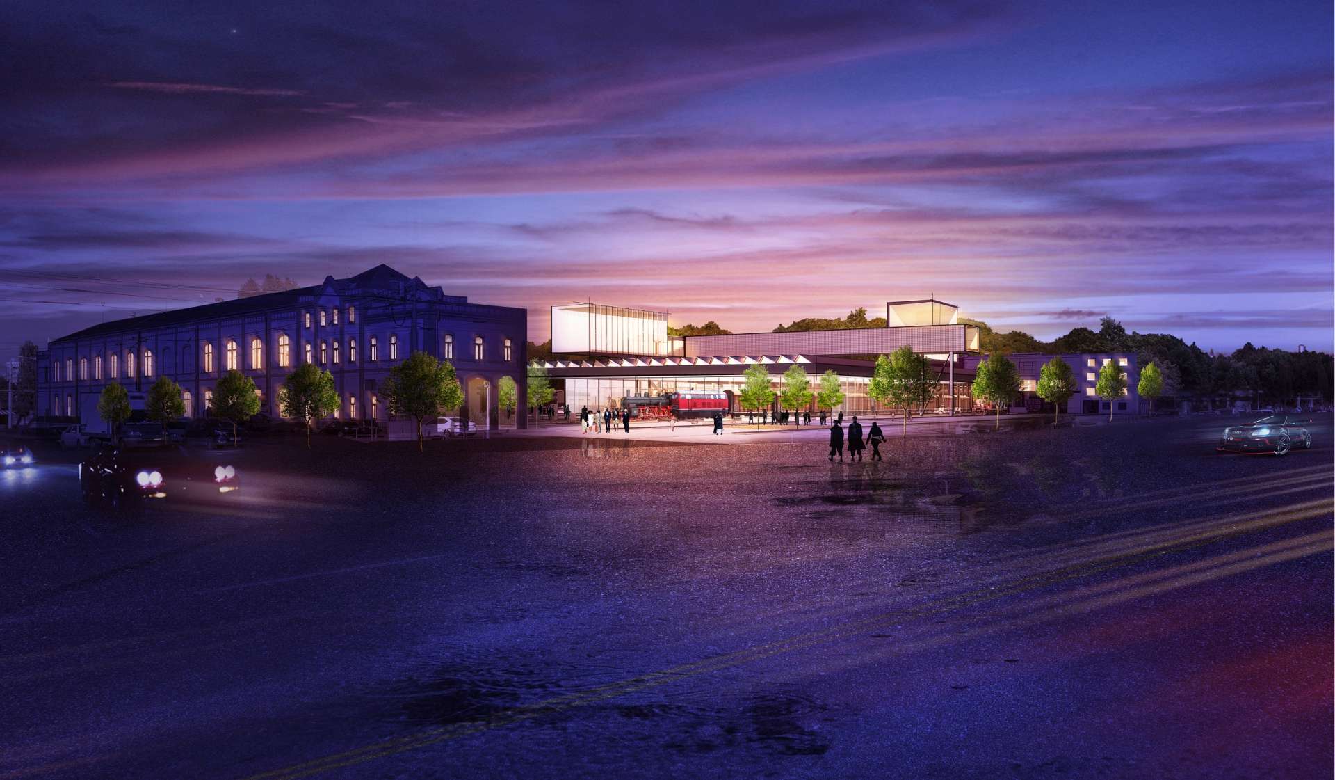
Megközelítés
Az Északi Járműjavító bejáratát az Opera Eiffel Műhelyházának parkolója felől lehet elérni.
A parkolóban kizárólag mozgáskorlátozott látogatóinknak tudunk parkolóhelyet biztosítani, ezen igény előzetes jelzésével az info@kozlekedesimuzeum.hu címen.
A kiállítás helyszíne közösségi közlekedéssel kitűnően megközelíthető, így javasoljuk, válassza ezt a fenntarthatóbb utazási lehetőséget!


A kiállítás tömegközlekedéssel az alábbi módokon közelíthető meg:
-
a Blaha Lujza tértől a 28-as, 28A vagy 62-es villamossal 8 megálló, 13 perc, az Eiffel Műhelyházig utazva.
-
A belvárostól, pl. a Deák Ferenc tértől 9-es busszal 11 megálló, 20 perc, az Eiffel Műhelyházig utazva.
-
A kiállítás az 1-es villamossal is megközelíthető, így a Kőbányai út / Könyves Kálmán körút megállónál kell leszállni, ahonnan mintegy 5-7 perc séta vagy egy megálló a 28, 28A vagy 62-es villamossal a kiállítás bejárata.
Autóval érkező látogatóinknak az Opera Eiffel Műhelyházát érdemes beírni a GPS-be. Kérjük, vegyék figyelembe, hogy a helyszínen sajnos helyhiány miatt parkolási lehetőséget nem tudunk biztosítani, ezért a tömegközlekedés használatát ajánljuk!
A kiállítás helyszínén 3 db akadálymentes parkolóhelyet biztosítunk az arra rászorulók számára. Kérjük, amennyiben ezen parkolóhelyeket igénybe venné, az info@kozlekedesimuzeum.hu email címen jelezze!
A kiállítás kerékpárral gyorsan és könnyen elérhető, mind a Könyves Kálmán körúton, mind a Kőbányai úton végig kerékpárút halad. A bejáratnál 20 darab kerékpártároló áll rendelkezésre.
Kiállításunk az összes fővárosi autóbusz- és vasúti pályaudvarról kitűnően megközelíthető, az alábbiak szerint:
- A Keleti pályaudvartól a 2M-es, vagy a 24-es villamosra felszállva az Orczy térig, majd onnan a 28-as, 28A vagy a 62-es villamosra átszállva további 4 megállót kell utazni az Eiffel Műhelyházig.
- A Déli pályaudvartól a 2-es metróval a Puskás Ferenc Stadion állomásig, majd az 1-es villamossal a Kőbányai út / Könyves Kálmán körút megállóig utazva, onnan pedig 4-5 perc sétával lehet megközelíteni az épületet.
- A Nyugati pályaudvartól a 9-es autóbusszal 15 megállót követően az Eiffel Műhelyháznál leszállva lehet elérni az Északi Járműjavítót.
- Kelenföld vasútállomástól, a Puskás Ferenc Stadiontól és a Népligettől egyaránt az 1-es villamossal lehet elérni az Északi Járműjavítót, a Kőbányai út / Könyves Kálmán körút megállónál kell leszállni, onnan pedig 5-7 perc sétával közelíthető meg, vagy egy megállót megtéve a 28-as, 28A vagy a 62-es villamossal.
A kiállítás helyszínén két darab buszparkolót biztosítunk a csoporttal érkezőknek. Kérjük, amennyiben ezen parkolóhelyeket igénybe venné, jelezze az info@kozlekedesimuzeum.hu email címen!
Nyitva tartás -Zárva
Rendezvények
Kiállításunkat folyamatosan bővülő programokkal színesítjük mely minden korosztály számára élményt kínál. Családi napokról, filmvetítésekről, múzeumpedagógiai foglalkozásainkról, esti épületsétákról és további érdekes eseményekről a eseménynaptáron keresztül tájékozódhat.
Jegyinfó
Kiállításunkra a helyszínen, valamint online is megvásárolhatja a jegyét az alábbi linkre kattintva:
Jegyárak:
|
Felnőtt belépőjegy: |
3.000 Ft |
|
Félárú belépőjegy: |
1.500 Ft |
|
Csoportos felnőtt belépőjegy (10 főtől): |
2.400 Ft |
|
Csoportos kedvezményes belépőjegy |
1.200 Ft |
|
Családi jegy (két felnőtt és legfeljebb két 18 év alatti kiskorú): |
5.500 Ft |
|
Családi jegy mellé minden további kiskorú: |
700 Ft |
|
Ingyenes regisztrációs jegy (6 év alatt / 70 év felett / fogyatékos személyek / fogyatékos személyt kísérő legfeljebb 1 fő / a miniszter által kiadott szakmai jeggyel / 400 fősnél nagyobb országos közgyűjteményi szervezet tagjai / pedagógusok | ICOM kártyával |
0 Ft |
|
Múzeumpedagógiai foglalkozás (látogatásra önmagában nem jogosít): |
800 Ft |
|
Konkrét műhelyprogramra váltható, illetve előzetes bejelentkezés alapján, csoportos programra igényelhető. |
|
Díjtalan belépésre jogosultak, regisztrációs jegyet kell váltaniuk:
- 6. életévet be nem töltött kiskorúak, valamint a 70. életévüket betöltött személyek,
- a fogyatékos személyek jogairól és esélyegyenlőségük biztosításáról szóló 1998. évi XXVI. törvény (Ebtv.) 4. § a) pontja szerinti fogyatékos személyek,
- a fogyatékos személyt kísérő legfeljebb 1 fő,
- a miniszter által kiadott szakmai belépővel rendelkezők,
- a legalább 400 fős taglétszámmal rendelkező, országos hatáskörű közgyűjteményi szakmai szervezet tagjai (Pulszky Társaság – Magyar Múzeumi Egyesület, Magyar Könyvtárosok Egyesülete, Magyar Levéltárosok Egyesülete),
- Magyar Vidéki Múzeumok Szövetségének tagintézményeinek dolgozói
- a köznevelésben dolgozó pedagógusok, szakképzésben dolgozó oktatók (az adott évre érvényesített pedagógus igazolvánnyal),
- ICOM kártyával rendelkezők,
- a szomszédos államokban élő magyarokról szóló 2001. évi LXII. törvény (Szátv.) hatálya alá tartozó, „Magyar Igazolvánnyal”, illetve „Magyar Hozzátartozói igazolvánnyal”, továbbá hitelt érdemlő, a munkavégzésre irányuló jogviszonyt tanúsító, külképviseletnek bemutatott igazolással rendelkező, a Szátv.-ben meghatározott államokban működő könyvtári, levéltári, muzeális és közművelődési intézményekben dolgozó,
- a Múzeumnál a látogatás napján munkajogviszonyban álló munkavállalók múzeumi belépőkártyájuk felmutatásával.
Kedvezményes (50%-os) belépésre jogosultak:
- 6 és 26 év közötti látogató, kedvezményre jogosító igazolvány felmutatásával
- 62 év felettiek
- legalább két, 18 év alatti személyt kísérő, a Polgári Törvénykönv szerinti közeli hozzátartozó (legfeljebb 2 fő)
- "Szakmai beszélgetés kupon" felmutatásával a szakmai beszélgetések látogatása
- egyedi alkalomra meghirdetett esetben, a meghatározott feltétel fennálása esetén
- aki a társadalombiztosítási nyugellátásról szóló 1997 évi LXXXI. 18. § (2a) bekezdése szerint öregségi teljes nyugellátásban részesül
- érvényes újságírói igazolvánnyal rendelkezők
Támogatóink:


